


Rolling in the Deep Ocean
First-ever accounting of how internal wave energy moves through the Southern Ocean
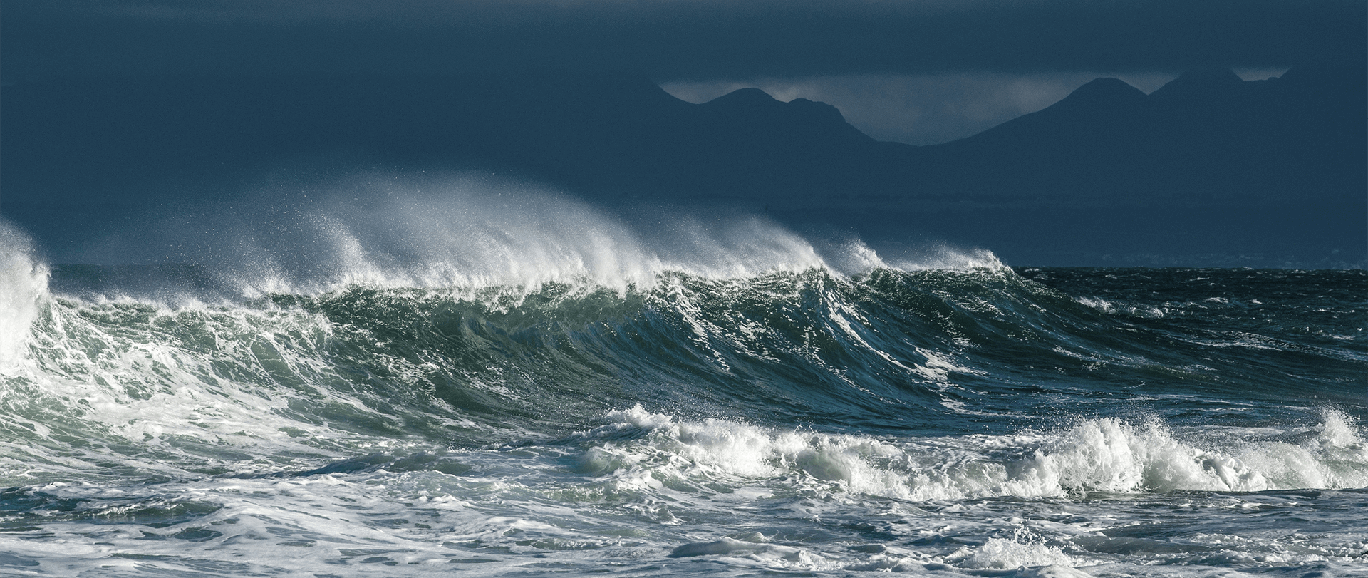
Nearly four decades and several satellite missions later, global data records of ocean vector winds are an important backbone of scientific discovery. These records are key to understanding the interactions between huge, restless systems that drive our climate: the ocean and atmosphere.
The Ocean Vector Winds Science Team (OVWST) is an international community of scientists, government agencies, and users. Members of the OVWST have produced high-quality data streams from Earth-observing satellite missions. They have analyzed and interpreted wind-driven processes. They've improved operational modeling and forecasting applications for safer seas and coasts.
First-ever accounting of how internal wave energy moves through the Southern Ocean

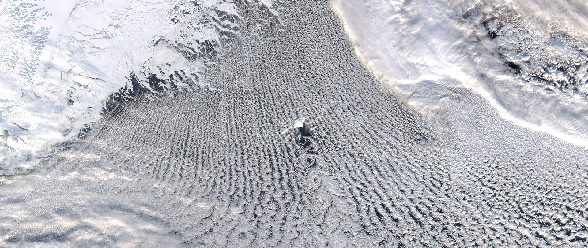
For Antarctic polynyas, there may be a shift in thinking
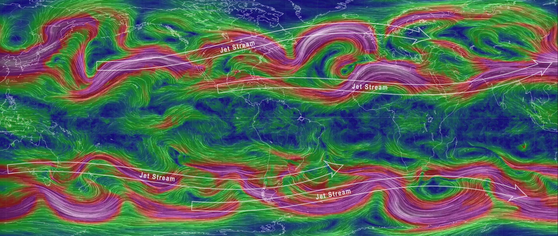
Sensing clouds and the winds below them

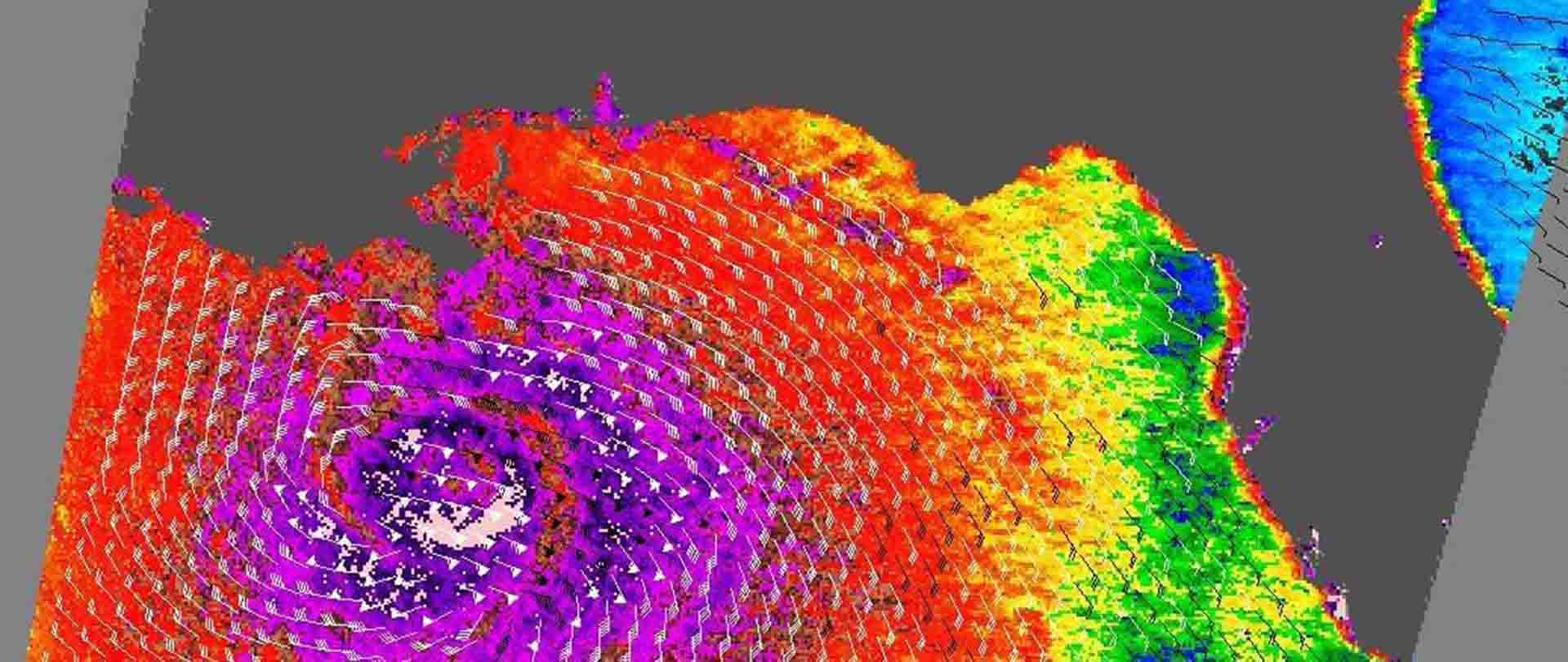
A mystery arises while calibrating winds from our seas and space


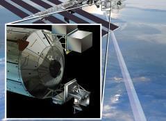
The Compact Ocean Wind Vector Radiometer (COWVR) measures wind speed and direction from the International Space Station.
COWVR is no bigger than a minifridge. Yet it is designed to do a big job: to make the same high-quality atmospheric observations as weather satellites many times its size and at a fraction of the cost. It is considered to be a technology demonstration. However, if COWVR performs as planned, weather forecasting could be in for a big technological boost.
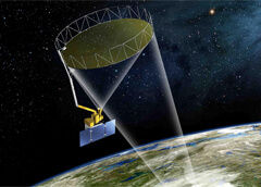
The mission is comprised of eight Low Earth Orbiting spacecraft that receive both direct and reflected signals from GPS satellites.
Each satellite receives both direct GPS signals and signals reflected from the Earth's surface; the direct signals pinpoint the microsatellite position and provide a timing reference, while the reflected or "scattered" signals provide information about the condition of the sea's surface. Sea surface roughness corresponds to wind speed.
The instrument was on board the International Space Station and measured Earth's ocean surface wind speed and direction.
NASA's International Space Station Rapid Scatterometer (ISS-RapidScat) Earth science instrument had a successful two-year mission aboard the space station. ISS-RapidScat used the unique vantage point of the space station to provide near-real-time monitoring of ocean winds, which are critical in determining regional weather patterns.
The Soil Moisture Active Passive (SMAP) mission retrieves soil moisture, salinity, and wind speed data.
Launched in 2015, SMAP's primary mission is measuring the water content of soil on Earth's surface, helping to improve crop yield forecasts and irrigation planning. However, SMAP data also contributes to the understanding of our ocean. How? It measures wind speed over the ocean and the concentration of dissolved salts at the sea surface (i.e., salinity).